File:Japan location map with side map of the Ryukyu Islands.svg

    From Consumerium development wiki R&D Wiki

    Original file(SVG file, nominally 413 × 373 pixels, file size: 980 KB)
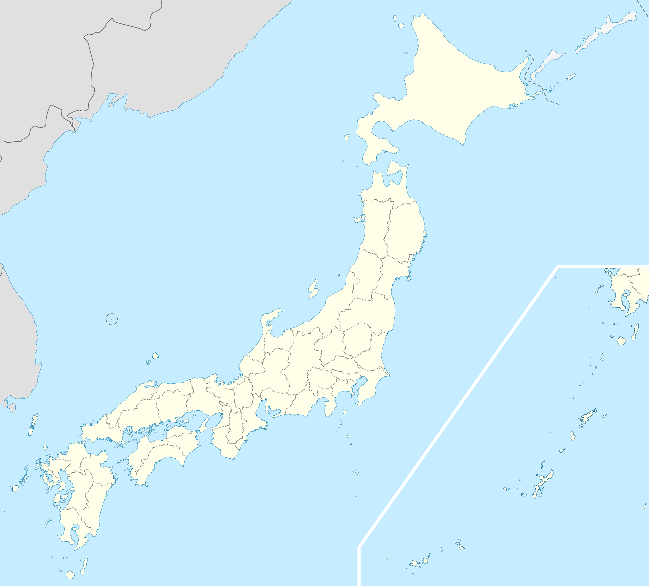
    This file is from a shared repository and may be used by other projects. The description on its file description page there is shown below.

    Summary

    Description
    Deutsch: Postionskarte von Japan

    Quadratische Plattkarte.

    Bei Nutzung der Hauptkarte mit den Hauptinseln gelten folgende geographische Begrenzungen für die (Gesamt-)Karte:

    • N: 45°51'37" N (45.86°N)
    • S: 30°01'13" N (30.02°N)
    • W: 128°14'24" O (128.24°O)
    • O: 149°16'13" O (149.27°O)

    Bei Nutzung der Nebenkarte mit den Ryūkyū-Inseln gelten folgende geographische Begrenzungen für die (Gesamt-)Karte:

    • N: 39°32'25" N (39.54°N)
    • S: 23°42'36" N (23.71°N)
    • W: 110°25'49" O (110.43°O)
    • O: 131°26'25" O (131.44°O)
    English: Location map of Japan

    Equirectangular projection.

    Geographic limits to locate objects in the main map with the main islands:

    • N: 45°51'37" N (45.86°N)
    • S: 30°01'13" N (30.02°N)
    • W: 128°14'24" E (128.24°E)
    • E: 149°16'13" E (149.27°E)

    Geographic limits to locate objects in the side map with the Ryukyu Islands:

    • N: 39°32'25" N (39.54°N)
    • S: 23°42'36" N (23.71°N)
    • W: 110°25'49" E (110.43°E)
    • E: 131°26'25" E (131.44°E)
    日本語: 日本国の地図。

    正距円筒図法。

    南西諸島以外の日本を描いたメインの地図が示す領域:

    • 北端:北緯45度51分37秒(北緯45.86度)
    • 南端:北緯30度01分13秒(北緯30.02度)
    • 西端:東経128度14分24秒(東経128.24度)
    • 東端:東経149度16分13秒(東経149.27度)

    南西諸島を描いた右下の地図が示す領域:

    • 北端:北緯39度32分25秒(北緯39.54度)
    • 南端:北緯23度42分36秒(北緯23.71度)
    • 西端:東経110度25分49秒(東経110.43度)
    • 東端:東経131度26分25秒(東経131.44度)
    Date
    Source Own work
    Author Maximilian Dörrbecker (Chumwa)
    Permission
    (Reusing this file)
    I, the copyright holder of this work, hereby publish it under the following licenses:
    GNU head Permission is granted to copy, distribute and/or modify this document under the terms of the GNU Free Documentation License, Version 1.2 or any later version published by the Free Software Foundation; with no Invariant Sections, no Front-Cover Texts, and no Back-Cover Texts. A copy of the license is included in the section entitled GNU Free Documentation License.
    w:en:Creative Commons
    attribution share alike
    This file is licensed under the Creative Commons Attribution-Share Alike 3.0 Unported license.
    You are free:
    • to share – to copy, distribute and transmit the work
    • to remix – to adapt the work
    Under the following conditions:
    • attribution – You must give appropriate credit, provide a link to the license, and indicate if changes were made. You may do so in any reasonable manner, but not in any way that suggests the licensor endorses you or your use.
    • share alike – If you remix, transform, or build upon the material, you must distribute your contributions under the same or compatible license as the original.
    You may select the license of your choice.
    Other versions

    Derivative works of this file:

    SVG development
    InfoField
     
    The SVG code is valid.
     
    This map was created with Adobe Illustrator.
    Kartenwerkstatt
    This SVG map has been made or improved in the German Kartenwerkstatt (Map Lab). You can propose maps to improve as well.

    Captions

    Location map of Japan

    Items portrayed in this file

    depicts

    March 2010

    image/svg+xml

    File history

    Click on a date/time to view the file as it appeared at that time.

    Date/TimeThumbnailDimensionsUserComment
    current14:21, 3 April 2022Thumbnail for version as of 14:21, 3 April 2022413 × 373 (980 KB)commonswiki>PekaReverted to version as of 10:18, 10 August 2021; no discuss about this change

    The following file is a duplicate of this file (more details):

    There are no pages that use this file.

    Metadata